Drones improve volcanic gas monitoring and eruption prediction accuracy
Researchers are deploying drones to collect precise gas and ash data from active volcanic plumes, helping to improve eruption warnings and public safety.

The integration of unoccupied aircraft systems, commonly known as drones, into volcanological research is significantly enhancing the precision of eruption forecasting and hazard assessment. By enabling direct in situ data collection within hazardous volcanic plumes, researchers are overcoming the limitations of ground-based and satellite remote sensing, which often fail to capture the dynamic processes occurring deep within eruptive clouds.
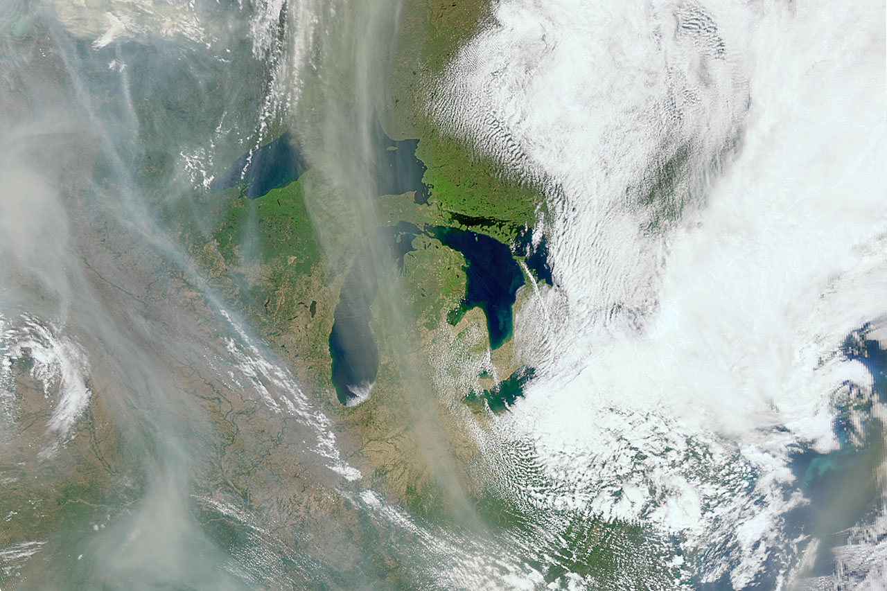
Scientific teams are deploying sophisticated drone platforms to monitor gas compositions and particulate matter at active sites, including Sakurajima in Japan, and Mount Etna and the Aeolian Islands in Italy. According to Nature, volcanic plumes represent a major hazard, and drones are now utilized to assess risks to human health by measuring air pollution levels rapidly without placing personnel in the direct path of danger. These platforms provide insights into below-ground magmatic processes, as well as atmospheric interactions that can influence global climate dynamics.
Related media

Advanced Gas Tomography
One of the most promising developments in the field involves tomographic mapping of gas concentrations. Researchers at the Technical University of Munich (TUM) have developed a system that uses laser beams to analyze gas clouds. By bouncing these beams off reflectors mounted on drones, the team can generate high-resolution maps of gas distribution, specifically targeting elevated carbon dioxide levels. As reported by Nachrichten.idw Online, this method helps minimize "background signals" from surrounding vegetation and soil, which often contaminate ground-level measurements.
Prof. Achim Lilienthal of the TUM MIRMI Robotics Institute described the process as both more precise and safer than traditional methods. During testing, an automated laser cart tracked a drone for 10 to 15 minutes, gathering thousands of measurements to map the plume. The ultimate objective for the team is to automate these mapping processes entirely, allowing artificial intelligence to interpret the data in real time.
Comparative Methodology: Onboard Sensors vs. Open-Path Mapping
While the TUM team utilizes open-path laser technology, other researchers, such as Prof. Thorsten Hoffmann of Johannes Gutenberg University Mainz, favor the use of direct onboard sensors. This approach involves flying the aircraft directly into the plume to measure chemical concentrations through photometric or electrochemical cells. The ratio of carbon dioxide to sulfur dioxide serves as a vital indicator of underground activity, as the solubility of these gases varies with pressure and depth.
Volcanologist Nicole Bobrowski of Heidelberg University noted that monitoring these specific ratios can provide critical warnings of impending activity.
"For example, the ratio of carbon dioxide to sulfur dioxide initially rises sharply and then falls again before the eruption begins."
Nicole Bobrowski, Volcanologist
Innovative Ash and Aerosol Sampling
Beyond gas analysis, drones are now being equipped to sample volcanic ash and aerosol particles in situ. The AeroVolc system, detailed in Amt, employs a ruggedized quadcopter capable of operating in harsh, abrasive environments. This system allows scientists to capture grain size distributions and particle aggregation patterns within volcanic clouds, data that were previously inaccessible through remote sensing alone.
To ensure operational longevity, researchers use hardware that meets rigorous ingress protection standards, shielding delicate electronics from dust and moisture. These platforms allow for controlled sampling of ash fallout, using cover mechanisms that can be opened or closed remotely. This level of control ensures that data is collected exactly when and where it is most relevant to the study of volcanic plume dispersion and sedimentation.
What to Watch Next
The field is moving toward deeper integration of automation and data analysis. Based on the provided reports, the following trends and milestones are currently underway:
- Full Automation: Ongoing efforts to transition from manual piloting to fully autonomous, AI-driven drone missions.
- Instrument Miniaturization: Continued development of lightweight, robust sensors to increase the variety of measurements possible on a single flight.
- Machine Learning Integration: Expanding the use of algorithms to interpret complex "gas signatures," enabling faster identification of precursors to eruptions across different volcanic fields.
- Long-Range Deployment: Improvements in battery technology and flight efficiency to support extended observation of persistent degassing activity.
As these technologies mature, their role in hazard mitigation and the study of global atmospheric dynamics is expected to expand, providing a more comprehensive look at how volcanic processes influence both local environments and the planet at large.
Archypedia is dedicated to independent, evidence-backed reporting. This briefing was synthesized from primary source reporting, corroborated across independent newsrooms, and verified against our Editorial Standards.
Transparency record
Evidence behind this report
This report synthesizes 4 distinct sources. Open the source ledger below to compare the underlying coverage.
Prepared under the Archypedia Editorial Policy by the Niko Vale editorial desk profile. AI-assisted tools may support drafting and verification; public accountability remains with Archypedia. Report an error.