NASA and IBM release open-source lunar AI model for exploration
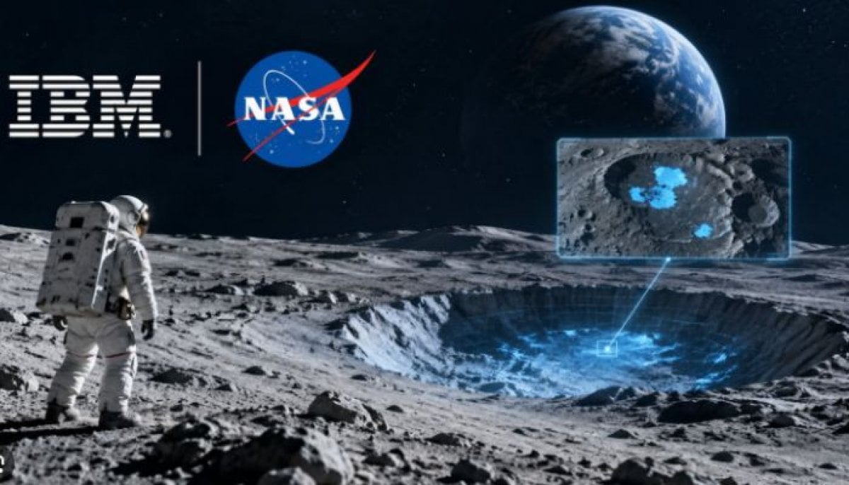
IBM and NASA released an open-source lunar foundation model and the SomBench dataset to help researchers automate surface mapping and ice prospectivity.
Unifying Petabytes of Fragmented Lunar Archives
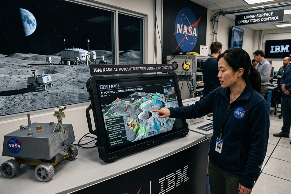
For decades, international space agencies have continuously observed the lunar surface, generating petabytes of multi-instrument data stored across disparate formats and resolutions. Historically, researchers have had to manually sift through massive archives of maps and images or rely on low-resolution, task-specific machine learning models that are computationally intensive and prone to accuracy gaps. To overcome these structural bottlenecks, IBM and NASA scientists built SomBench, described as the first unified, machine-learning-ready lunar dataset of its kind. As reported by Unite.AI, the corpus aggregates more than 30 spatially aligned layers derived from nine instruments across four missions. These include NASA’s Lunar Reconnaissance Orbiter (LRO) and Gravity Recovery and Interior Laboratory (GRAIL) missions, alongside complementary data from the Japan Aerospace Exploration Agency's (JAXA) SELENE/Kaguya mission. The SomBench dataset is organized into two primary tracks hosted on AWS under a CC BY 4.0 license: the Wide Angle Camera Low Resolution (WACLowRes) track containing 963,609 tiles covering 51.2 kilometers at 100 meters per pixel, and the Narrow Angle Camera High Resolution (NACHighRes) track comprising 1,000,113 tiles covering 512 meters at 1 meter per pixel. Splits are assigned at the Lunar Transverse Mercator zone level to prevent spatial data leakage.Performance Metrics Across Lunar Phenomena
The foundation model itself uses a Vision Transformer (ViT-B) encoder-decoder architecture with 768 dimensions, 12 layers, and 12 attention heads. Trained across 16 H100 GPUs for 150,000 steps, the system incorporates acquisition geometry tokenization — such as illumination angles and solar-frame anchors, recognizing that lunar surface appearance is heavily dictated by lighting conditions rather than intrinsic material variation alone. Creator benchmarks highlight varying degrees of improvement over established baselines, such as the SwinV2-B model trained on ImageNet.| Lunar Analysis Task | Model Performance Metric | Baseline Comparison (SwinV2-B) |
|---|---|---|
| Potential Ice Deposits | RMSE reduction of up to 22–23% | RMSE of 0.0293 vs. 0.0377 (baseline) |
| Irregular Mare Patches (Volcanism) | 3% improvement in capturing extent using imperfect labels | IoU of 0.5709 vs. 0.5687 (ConvNeXtV2-B) |
| Meter-Scale Crater Detection | Comparable accuracy with reduced computing overhead | Parity with SwinV2-B on WAC/NAC resolution |
| Context-Scale Crater Detection (~100m) | Outperforms baseline by nearly 19% using half the training data | Superior efficiency on wide-area feature extraction |
Practical Applications and Commercial Integration
The open-source release feeds directly into broader institutional goals. Reuters reported that the tool supports the Artemis program's framework for a sustained human return to the Moon, scheduled for later this decade, by automating the identification of critical surface resources. Promotional materials emphasize that locating subsurface water-ice within permanently shadowed polar craters can supply astronauts with drinking water, breathable oxygen, and hydrogen-based rocket propellants necessary for deep-space missions. Furthermore, automated crater and boulder mapping assists mission planners in evaluating terrain age, selecting safe landing corridors, and mapping prospective locations for long-term lunar infrastructure. The model is distributed openly on Hugging Face under an Apache-2.0 license, with fine-tuning code maintained in a NASA-IMPACT GitHub repository and downstream adaptation executed via TerraTorch. It joins IBM's growing Prithvi family of open geospatial, weather, and heliophysics foundation models.Frequently Asked Questions
Where can researchers access the new lunar foundation model and its dataset?
The NASA-IBM Lunar Foundation Model is published on Hugging Face under an Apache-2.0 license, while the accompanying SomBench dataset is hosted on AWS under a CC BY 4.0 license.
Related YouTube video
What specific missions contributed data to the training corpus?
The SomBench dataset integrates data from nine instruments across four missions, prominently featuring NASA's Lunar Reconnaissance Orbiter and GRAIL missions, alongside JAXA's SELENE/Kaguya mission.
Archypedia is dedicated to independent, evidence-backed reporting. This briefing was synthesized from primary source reporting, corroborated across independent newsrooms, and verified against our Editorial Standards.
Transparency record
Evidence behind this report
This report synthesizes 6 distinct sources. Open the source ledger below to compare the underlying coverage.
Prepared under the Archypedia Editorial Policy by the Niko Vale editorial desk profile. AI-assisted tools may support drafting and verification; public accountability remains with Archypedia. Report an error.