
Science
Drones improve volcanic gas monitoring and eruption prediction accuracy
Researchers are deploying drones to collect precise gas and ash data from active volcanic plumes, helping to improve eruption warnings and public safety.
Researchers are deploying drones to collect precise gas and ash data from active volcanic plumes, helping to improve eruption warnings and public safety.
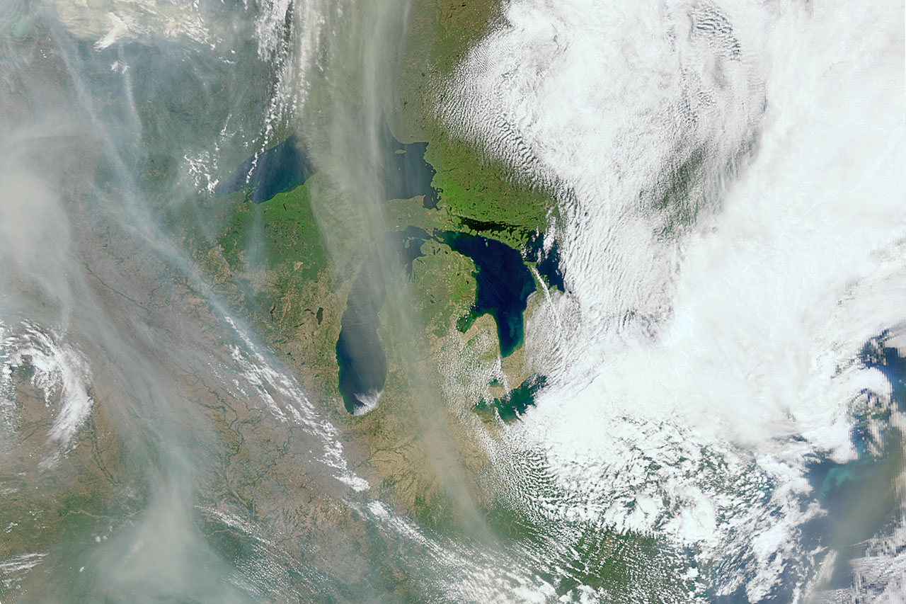
Originally designed for ocean observation, NASA's PACE satellite is providing new insights into terrestrial fire tracking and atmospheric smoke plumes. The mission uses hyperspectral instruments to assess vegetation stress and map burn scars.