Boston expects heavy rain and thunderstorms Tuesday as storm system arrives
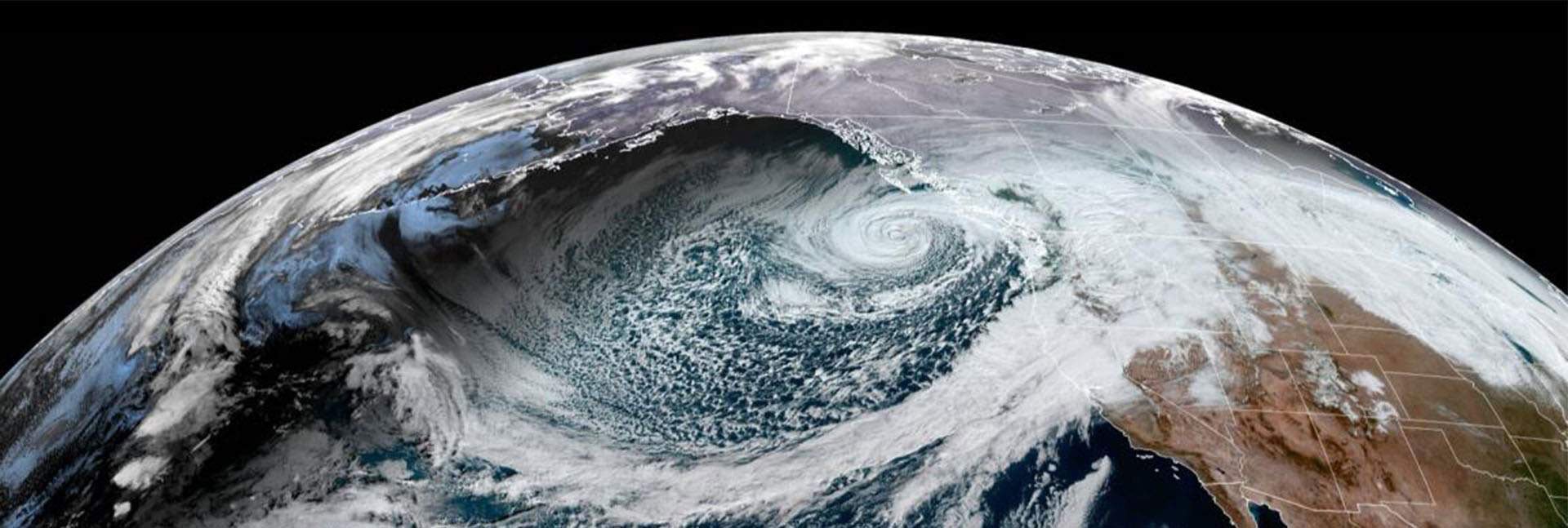
A potent storm system is set to bring heavy rainfall and thunderstorms to Southern New England through Wednesday, potentially easing ongoing drought conditions.

Residents across Greater Boston are preparing for a shift in meteorological conditions as a potent, fast-moving storm system tracks toward the region. Following a brief period of dry and cool weather that provided respite over the preceding days, the incoming system is poised to bring tropical-like humidity and a series of unsettled weather events beginning Tuesday.
The atmospheric transition is driven by a warm front expected to pull surging moisture from the south into Southern New England. This influx will cause dew points to soar into the upper 60s and low 70s, mirroring conditions typically associated with Miami. Meteorologists anticipate that scattered showers and general thunderstorms will begin to form across the Greater Boston area between 3 p.m. And 6 p.m. On Tuesday. More steady, potentially heavy rainfall is likely to arrive later in the evening, specifically between 8 p.m. And 11 p.m.
Related media

While the threat of severe weather may diminish after dark as daytime heating fades, the system presents risks for localized flash flooding and strong downdrafts. Areas situated west of Greater Boston, including the Berkshires and parts of Western Connecticut, may see the storm activity arrive earlier in the day. These regions are also at a higher risk for damaging wind gusts. Regardless of individual storm severity, heavy downpours are expected to result in significant runoff throughout Southern New England, excluding Cape Cod.
The precipitation pattern will continue into Wednesday as a cold front moves through the region. This phase of the storm system is expected to trigger another round of showers and thunderstorms in the morning and early afternoon, likely clearing out before sunset. Over the two-day period, total rainfall amounts across Southern New England are expected to reach nearly an inch, with localized areas along the southern coast potentially receiving 2 to 2.5 inches. Forecasters note that this moisture will serve to further alleviate ongoing drought conditions in the area.
This regional system is part of a broader, volatile weather pattern that has already caused significant disruption across the United States. Following more than 250 storms that brought heavy rain, dangerous flooding, and high winds to various parts of the country earlier in the week, travel infrastructure remains strained. By Tuesday, flight delays and cancellations were continuing at major hubs, with thousands of disruptions reported within the United States. Storms have impacted nearly half of the country, leading to emergency rescues in flooded areas and widespread power outages.
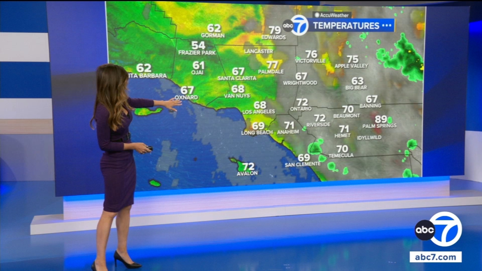
While the East Coast grapples with this influx of moisture, other regions are facing divergent environmental challenges. In the western United States, particularly Southern California, high pressure is set to build throughout the week, pushing temperatures back into the triple digits in inland areas and valleys. Meanwhile, heat alerts remain in place from Louisiana to the Pacific Northwest, with millions of people under watches, warnings, and advisories as temperatures reach up to 111 degrees Fahrenheit in some locations.
The risk of flash flooding remains a primary concern in areas with poor drainage or low-lying infrastructure. As the cold front exits the region on Wednesday evening, the immediate threat of widespread severe weather is expected to subside, giving way to a new phase of the week's broader, coast-to-coast weather activity.
Archypedia is dedicated to independent, evidence-backed reporting. This briefing was synthesized from primary source reporting, corroborated across independent newsrooms, and verified against our Editorial Standards.
Transparency record
Evidence behind this report
This report synthesizes 5 distinct sources. Open the source ledger below to compare the underlying coverage.
Prepared under the Archypedia Editorial Policy by the Mara Ionescu editorial desk profile. AI-assisted tools may support drafting and verification; public accountability remains with Archypedia. Report an error.