National Weather Service issues tornado warnings for Upper Michigan
The National Weather Service issued tornado warnings across nearly a dozen Upper Michigan counties as a powerful storm system moved through the region. The severe weather threat is expected to shift toward the Midwest, Ohio Valley, and Mid-Atlantic throughout the workweek.

The National Weather Service (NWS) in Marquette issued multiple tornado warnings and a broad tornado watch on Monday, July 20, 2026, as a powerful storm system swept across the Upper Peninsula. The severe weather event, part of a multiday threat tracking across the Midwest and toward the Northeast, prompted emergency alerts for residents in nearly a dozen counties as radar detected rotation in several intense thunderstorms.
Meteorological data provided by the NWS indicates that the volatile conditions were driven by a strong system moving southeast from Canada. The environment featured warm, moist air near the ground interacting with high-level winds, creating what the FOX Forecast Center described as a favorable setup for supercell development. These storms initially brought threats of large, quarter-sized hail and wind gusts reaching 60 mph, forcing immediate warnings for locations including Ishpeming, Marquette, and Felch.
Related media
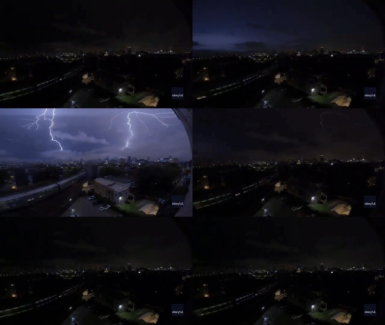
The severe activity was not confined to a single window. Throughout the afternoon, warnings were triggered in rapid succession as individual cells showed signs of rotation. Impacted areas faced threats of flying debris, destruction of mobile homes, and significant damage to trees and infrastructure. The NWS explicitly warned that individuals caught without shelter would face dangerous conditions. Other areas affected by the storm's path included Little Presque Isle, Sugarloaf Mountain, and K.I. Sawyer Airport.
Broader Regional Impact and Forecast
This weather front is part of a larger, multi-day severe weather pattern. According to the NWS Storm Prediction Center, the system is shifting eastward through the workweek. While Michigan dealt with the primary tornado threat on Monday, the risk of severe weather—including damaging wind gusts, large hail, and isolated tornadoes—is expected to persist for millions across the Midwest, Ohio Valley, and into the Mid-Atlantic on Tuesday and Wednesday.
Residents have been cautioned to monitor local conditions closely. Beyond the immediate storm threat, the region has been struggling with lingering air quality issues. According to the Michigan Department of Environment, Great Lakes, and Energy, a statewide air quality alert was in effect for Monday due to wildfire smoke from Canada. The combination of poor air quality and incoming severe weather has prompted officials to advise against strenuous outdoor activity.
What to Watch Next
- Ongoing Storm Evolution: The primary hazard for Tuesday is expected to shift toward damaging wind gusts across the Ohio Valley, Mid-Atlantic, and Northeast.
- Flood Risks: As the cold front slows near the Carolinas on Wednesday, forecasters are monitoring for increased flash flooding due to heavy, repeated rainfall, particularly in areas already saturated from weekend storms.
- Monitoring Tools: Residents can track real-time changes through Storm Prediction Center convective outlooks, which provide updated probability maps for tornadoes, wind, and hail.
- Air Quality Updates: While winds shifting to the south are expected to improve air quality throughout Tuesday, residents should continue to check the official state air quality data portals for changes.
As the front progresses, the NWS maintains that even areas without current specific outlooks should remain prepared, as the lack of a highlighted risk does not equate to zero risk in a volatile atmospheric environment. Official guidance remains to limit outdoor activities during periods of identified severe weather and to maintain access to emergency alerts.
Archypedia is dedicated to independent, evidence-backed reporting. This briefing was synthesized from primary source reporting, corroborated across independent newsrooms, and verified against our Editorial Standards.
Transparency record
Evidence behind this report
This report synthesizes 4 distinct sources. Open the source ledger below to compare the underlying coverage.
Prepared under the Archypedia Editorial Policy by the Mara Ionescu editorial desk profile. AI-assisted tools may support drafting and verification; public accountability remains with Archypedia. Report an error.


