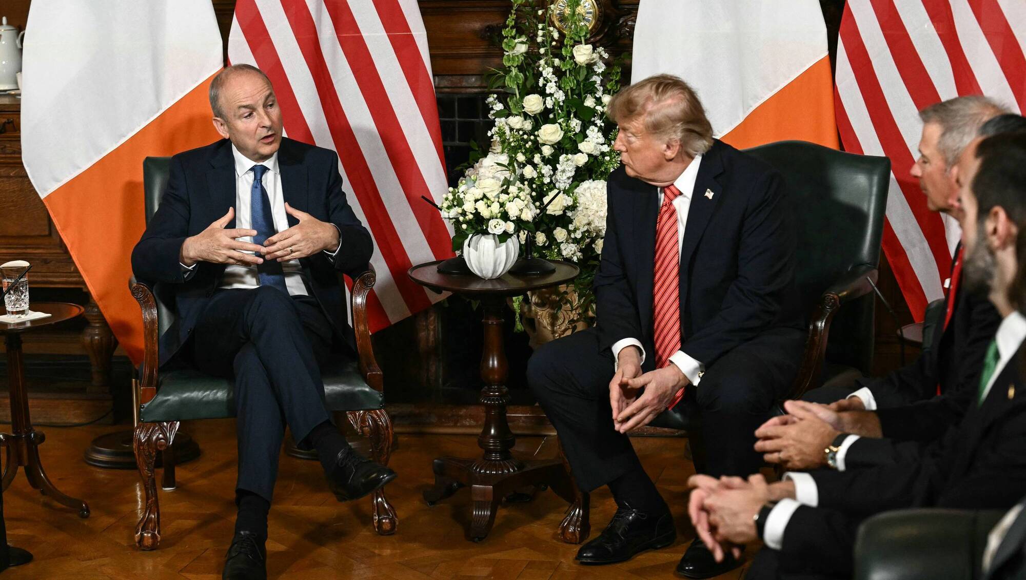
Trump shares map claiming Canada, Mexico and Greenland as US territory
The social media post coincides with executive orders renaming Lake Ontario and the Gulf of Mexico to 'America' within US federal nomenclature.

United States of America. Mexican President Claudia Sheinbaum responded to the publication via X, asserting that Mexico is
orgullosamente somos un país libre, independiente y soberano(proudly we are a free, independent and sovereign country). Emphasizing the response during Mexico's patriotic month, Sheinbaum stated:
"En el mes de la patria reafirmamos que México no es ni será colonia ni protectorado de ningún país extranjero. Orgullosamente somos un país libre, independiente y soberano."
Claudia Sheinbaum, President of Mexico, via X
From Social Media Memes to Executive Orders
The September 7 map is the latest in a pattern of geographical revisionism moving from symbolic social media posts to official federal mandates. While the map was shared without accompanying text, it incorporates theGulf of Americanomenclature, a term Trump has integrated into official U.S. Government systems. According to Baja News, the image also applies this "Gulf of America" designation to the Gulf of California. In January 2025, Trump signed an executive order requiring federal agencies to use
Gulf of Americainstead of
Gulf of Mexico. This directive applies strictly to U.S. Federal nomenclature and does not legally compel other nations to adopt the term. Similarly, on August 27, 2026, Trump signed an executive order renaming Lake Ontario, the natural border between the U.S. And Canada, as
Lake Americawithin the federal geographical naming system. This trend extends to domestic territory. On September 6, Trump shared an image where the word
Mexicowas crossed out in the name of the state of New Mexico and replaced with
America, suggesting the state be renamed
New Americaor
Nueva América. According to Tribuna de la Bahía, Trump claimed this proposal sought a name that was
más prestigioso y hermoso(more prestigious and beautiful). Governor Michelle Lujan Grisham rejected the proposal, stating the state's name is not up for discussion and noting that the president lacks the sole authority to rename a state of the Union.
Strategic Interests and Sovereignty Disputes
The symbolic appropriation of territory overlaps with concrete strategic and economic frictions. The inclusion of Greenland and the Arctic region aligns with Washington's interests in critical unexploited minerals and maritime commercial value, according to Pulzo. Specifically, the Pituffik space base in Greenland remains a high-value geo-strategic asset for U.S. Aerospace security and military surveillance. The tension with Mexico is further complicated by ongoing negotiations regarding the revision of the T-MEC (USMCA). Days before the map's release, Trump claimed Mexico hadnada que ofrecer(nothing to offer) the U.S. Except
tamales calientes y tomates(hot tamales and tomatoes), though he later indicated he would not break commercial ties due to his personal rapport with Sheinbaum, as reported by Tribuna de la Bahía.
| Target Area | Trump's Proposed/Implemented Name | Original Name | Mechanism of Change |
|---|---|---|---|
| Gulf of Mexico | Gulf of America | Gulf of Mexico | Executive Order (Jan 2025) |
| Lake Ontario | Lake America | Lake Ontario | Executive Order (Aug 27, 2026) |
| New Mexico (State) | New America | New Mexico | Social Media Proposal |
| Denali (Alaska) | Mount McKinley | Denali | Administration Reversal |
Diplomatic and Regional Responses
The reaction from Mexico has been a formal reassertion of independence. President Sheinbaum's response was delivered via X, framing the map as a challenge to national sovereignty. In Canada, the renaming of Lake Ontario occurred amid existing trade tensions between Washington and Ottawa. Like the Gulf of America order, the Lake America designation does not legally bind the Canadian government or international bodies. The pattern of symbolic expansion is not limited to North America. Trump has previously shared images of Venezuela covered by the U.S. Flag with the captionState 51, a move that similarly drew international controversy, according to Pulzo.
Frequently Asked Questions
Is the "Gulf of America" an officially recognized name?
It is official only within the U.S. Federal government's internal nomenclature following a January 2025 executive order; it is not recognized by Mexico or international bodies.
Can the president rename a U.S. State?
According to New Mexico Governor Michelle Lujan Grisham, the president does not have the authority to unilaterally change the name of a state in the Union.
What territories were included in the September 7 map?
The map depicted Canada, Mexico, Greenland, Iceland, Cuba, and various parts of Central America and the Caribbean as part of the United States.
Institutional Frameworks and Expansionist Ambitions
The September 7 map, though lacking accompanying text, reinforces a broader trajectory of territorial interest. Pulzo states that Washington's geopolitical interest in the Arctic is driven by maritime commercial value and access to critical unexploited minerals. This is anchored by the Pituffik space base in Greenland, which serves as a high-value asset for military surveillance and aerospace security. The friction generated by the map contrasts with the technical reality of the region. Government dependencies in these territories continue to hold periodic meetings to evaluate multilateral treaties and maintain fluid commercial transit, according to Pulzo. The immediate consequence of these symbolic claims is a heightened diplomatic defense. President Sheinbaum's assertion of sovereignty was specifically timed to Mexico's patriotic month, framing the map as a provocation. The unresolved trigger remains whether the White House will provide clarification on if the map represents a formal territorial proposal or a purely symbolic political gesture.Archypedia is dedicated to independent, evidence-backed reporting. This briefing was synthesized from primary source reporting, corroborated across independent newsrooms, and verified against our Editorial Standards.
Transparency record
Evidence behind this report
This report synthesizes 5 distinct sources. Open the source ledger below to compare the underlying coverage.
Prepared under the Archypedia Editorial Policy by the Samir Haddad editorial desk profile. AI-assisted tools may support drafting and verification; public accountability remains with Archypedia. Report an error.